
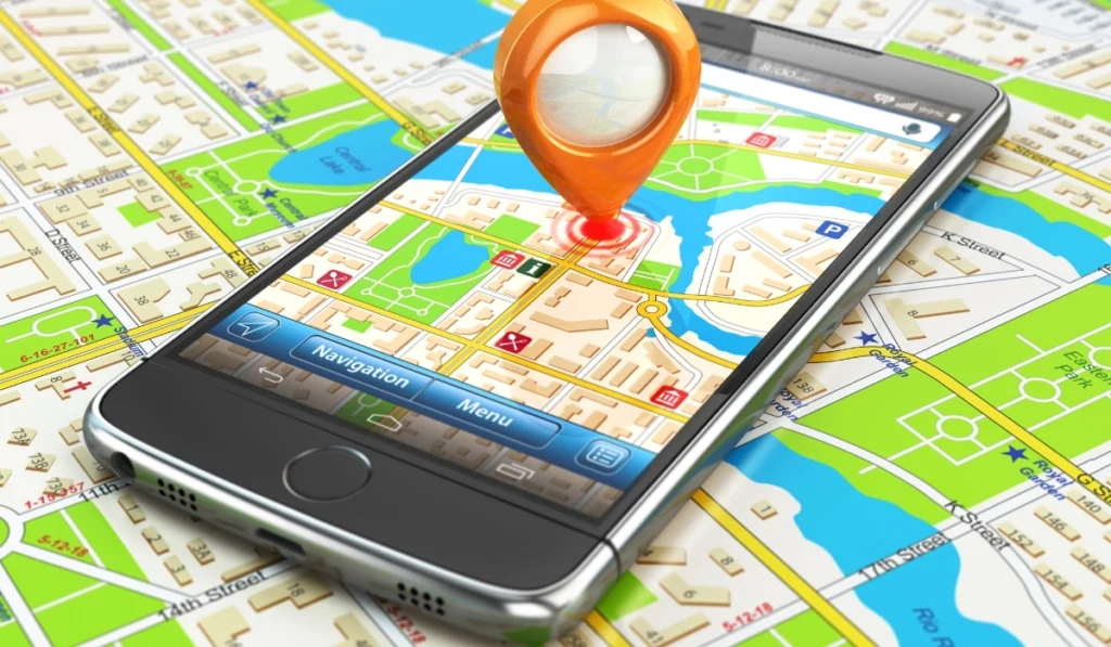
You’re driving down an unfamiliar road. Your phone says “turn left in 200 feet.” You turn. And suddenly you’re in a parking lot — or worse, a dead end — while the little blue dot on your screen calmly pretends everything is fine.
It’s one of those quietly frustrating modern experiences. We’ve sent probes to the edge of the solar system, yet somehow our navigation app thinks we’re standing in the middle of a lake.
So — why does GPS get it wrong? The answer is more interesting than a simple “it’s a glitch.” GPS errors have real, explainable causes. And understanding them changes how you look at that little satellite icon on your phone.
How GPS Actually Works (The Short Version)
Before we talk about errors, it helps to understand the basic mechanism — because the flaws come directly from the design.
GPS (Global Positioning System) works by triangulation. Dozens of satellites orbit Earth, each constantly broadcasting a signal that contains two things: its exact location, and the precise time the signal was sent.
Your phone receives signals from several satellites simultaneously. It then calculates how long each signal took to arrive. Since radio signals travel at the speed of light, a tiny time difference translates into a precise distance.
When your device has distances from at least four satellites, it can pinpoint your location in three-dimensional space.
That’s elegant engineering. But the keyword here is precise. GPS is extraordinarily sensitive to anything that disrupts those time and distance calculations — and a lot of things can.
The Main Reasons Why GPS Gets It Wrong
1. The Atmosphere Slows Everything Down
Here’s something easy to forget: satellite signals don’t travel through a vacuum to reach you. They pass through the Earth’s atmosphere — specifically the ionosphere and troposphere — and both layers slow the signal in ways that are difficult to predict perfectly.
The ionosphere, a charged layer of the upper atmosphere, is particularly problematic. Its behavior shifts depending on solar activity, time of day, and season.
When the sun is especially active, the ionosphere can throw GPS accuracy off by several meters — sometimes more. Engineers model this delay, but modeling isn’t the same as measuring. There’s always a margin of uncertainty baked in.
2. Tall Buildings Create a “Mirror Effect”
If you’ve ever noticed your GPS behaving strangely in a big city, you’re not imagining things. This is a well-documented phenomenon called multipath error.
When a satellite signal hits a glass skyscraper or a metal surface, it bounces. Your phone can receive both the direct signal and the reflected one — sometimes at nearly the same time. The device struggles to determine which is the “real” one, and the result is a confused, drifting position.
Think of it like trying to figure out where someone’s voice is coming from in a room full of mirrors. You hear the sound, but you can’t tell where it originated.
Urban canyons — dense city blocks flanked by tall buildings — are the classic culprit. This is why GPS often seems most unreliable exactly when you need it most: navigating through a crowded downtown area.
3. Your Satellite “View” Gets Blocked
GPS accuracy depends heavily on a clear line of sight to as many satellites as possible. The more satellites your device can reach, the better it triangulates your position.
But that view gets blocked constantly — by:
- Tunnels and underground parking
- Dense forests or thick canopy
- Mountains and steep terrain
- Indoor environments and thick concrete walls
When your device can only “see” one or two satellites, its calculation becomes far less reliable. It works with incomplete data and fills in the gaps — which is when you see that telltale “GPS signal lost” message or a position that jumps around unpredictably.
4. The Map Itself Can Be Wrong
Here’s a distinction that surprises many people: GPS positioning errors and map errors are two completely different problems.
Your phone’s positioning system might know exactly where you are — to within a few feet — but the map it’s displaying could be outdated or inaccurate.
Roads change. New developments are built. Addresses get renumbered. Map data is a living thing that requires constant updating, and no mapping service keeps everything perfectly current everywhere.
So when GPS “gets it wrong” and places you a block away from where you actually are, the satellite system itself may be working flawlessly. The error lives in the map data — not in the signal.
5. Satellite Geometry Matters More Than You’d Think
Not all satellite configurations are equal. If the satellites your phone can reach are all clustered together in one part of the sky, accuracy drops significantly.
This is measured by something called Dilution of Precision (DOP) — a score that reflects how spread out the visible satellites are.
- Low DOP = satellites are well-distributed → better accuracy
- High DOP = satellites are clustered → reduced accuracy
This is a background factor you rarely hear about, but it explains why GPS can be precise one moment and vague the next, even in the exact same location.
How Modern Devices Try to Compensate
Smartphones don’t rely on GPS alone. Modern devices combine several positioning technologies simultaneously:
- Wi-Fi positioning — detecting nearby networks to estimate location
- Cell tower triangulation — using signal strength from surrounding towers
- Accelerometers and gyroscopes — tracking movement to fill in gaps when signal is lost
- Assisted GPS (A-GPS) — downloading satellite location data over the internet to speed up signal acquisition
This is called sensor fusion, and it’s remarkably effective. When these systems work together, they keep your blue dot moving accurately — even when pure GPS would fail on its own.
It’s the reason your phone doesn’t completely lose orientation in a tunnel. It’s quietly switching between methods behind the scenes.
So, Should You Trust GPS?
GPS is genuinely impressive technology. In open environments, modern consumer GPS is accurate to within 3–5 meters. For most everyday purposes — navigating to a new restaurant, exploring an unfamiliar city — that’s more than enough.
But realistic expectations matter. Dense urban environments, underground spaces, and areas with poor satellite coverage are real weak points. No amount of software sophistication fully eliminates the physics involved.
If you ever doubt your GPS, especially somewhere unfamiliar: trust your eyes, look for street signs, and cross-reference with your surroundings. Technology is a tool, not an oracle.
This article is intended to explain GPS technology for general understanding. For critical navigation — aviation, maritime, or emergency response — always rely on professionally calibrated systems and trained personnel.